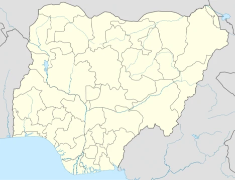
Kwara State
A Nigerian state with diverse ethnic groups and agricultural economy.

Wikipedia / Wikimedia Commons
Kwara is a state in western Nigeria. Its capital is Ilorin, and it is divided into 16 local government areas. To the east lies Kogi State, Niger State is to the north, and Ekiti, Osun, and Oyo states are to the south; its western edge forms part of Nigeria’s international border with Benin. Among Nigeria’s 36 states, Kwara ranks ninth in land area but is the sixth least populous, with an estimated 3.2 million residents as of 2016.
- Capital
- Ilorin
- Area Rank
- 9th largest in Nigeria
- Population (2016 est.)
- ~3.2 million
- Population Rank
- 6th least populous in Nigeria
- Major Ethnic Groups
- Yoruba, Nupe, Bariba (Baatonu), Busa (Bokobaru), Fulani
- Created
- 27 May 1967
- Human Development Index
- Joint-twentieth highest in Nigeria
Lore & Background
Kwara State was created on 27 May 1967, when the Federal Military Government of General Yakubu Gowon broke the four regions that then constituted the Federation of Nigeria into 12 states. At its creation, the state was made up of the former Ilorin and Kabba provinces of the then Northern Region and was initially named the West Central State but later changed to 'Kwara', a local name for the River Niger, in the Hausa language. The state has since 1976 reduced considerably in size due to further state creation exercises, with parts carved out to form Benue state and Kogi state, and the Borgu Local Government Area merged with Niger state.
Reader's Guide
Kwara State has been inhabited for ages by various ethnic groups, primarily the majority Yoruba people that live throughout the state, with sizable minorities of Nupe, Bariba, Busa, and Fulani peoples. In the pre-colonial period, most of the area was part of the Oyo Empire, with western portions in the Borgu Kingdoms and Nupe Kingdom. The Fulani jihad annexed some parts in the mid-1800s, placing the area under the Gwandu sphere of the Sokoto Caliphate. British expeditions occupied the area in the 1890s and 1900s, incorporating it into the Northern Nigeria Protectorate, which later merged into British Nigeria in 1914 before becoming part of independent Nigeria in 1960. Economically, Kwara state is largely based around agriculture, mainly of coffee, cotton, groundnut, cocoa, oil palm, and kola nut crops, along with services and livestock herding. The state has numerous institutions of tertiary education, including the University of Ilorin and Kwara State University, and important tourist attractions such as Esie Museum and Owu waterfalls.
Did You Know?
- Kwara State is named after the Hausa word for the River Niger.
- The state was originally called West Central State upon creation in 1967.
- Kwara has the joint-twentieth highest Human Development Index in Nigeria.
- The state contains parts of Kainji National Park and Old Oyo National Park.
Frequently Asked Questions
What is Kwara State?
Kwara is one of Nigeria's 36 states, located in the western part of the country and officially established on 27 May 1967. It is home to a diverse mix of Yoruba, Nupe, Bariba, Busa, and Fulani communities.
Where is Kwara State located and which states border it?
Kwara sits in western Nigeria with Ilorin serving as its capital. It is bounded by Kogi to the east, Niger to the north, Ekiti, Osun, and Oyo to the south, while its western edge forms part of the international border with Benin.
How is Kwara State administratively organized?
The state is divided into 16 local government areas, all administered from the capital city of Ilorin.
How does Kwara compare to other Nigerian states in size and population?
Kwara ranks ninth by land area among all 36 states but is the sixth least populous, with roughly 3.2 million residents as of the 2016 estimate.
What ethnic groups make up Kwara State?
The state's population is a blend of Yoruba, Nupe, Bariba (Baatonu), Busa (Bokobaru), and Fulani peoples, reflecting its position at the crossroads of several cultural regions in western Nigeria.
More in States Of Nigeria 1-20
Spotted an error? Know more?
This is a living reference — every entry is fact-audited, and reader corrections feed straight into our audit queue. Suggest an edit · See this site's audit record